We work towards global commons
Harnessing AI for a Sustainable Earth
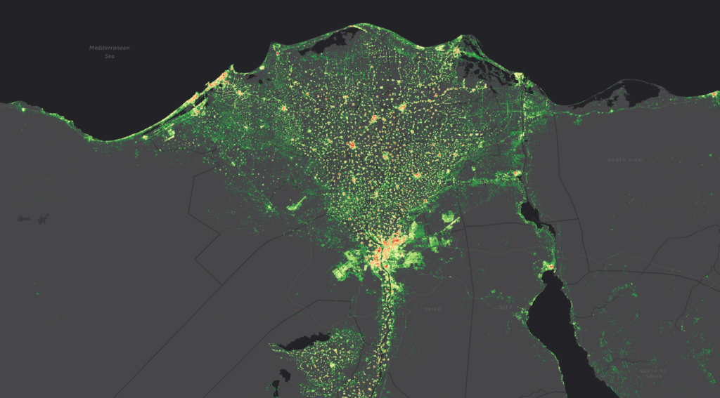
Actionable Insights from Earth Observation Data
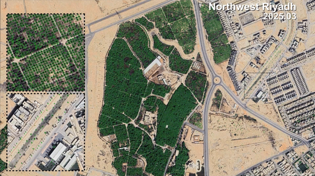
Individual Tree Monitoring
By combining high-resolution satellite imagery with state-of-the-art deep learning algorithms, we enable precise identification and tracking of individual trees across large and remote areas. This solution provides valuable insights into tree health, growth patterns, species classification, and changes over time, supporting applications in forestry management, biodiversity conservation, and carbon stock estimation. With automated processing and scalable infrastructure, our platform delivers accurate, up-to-date information to empower data-driven decision-making in sustainable land and forest resource management.
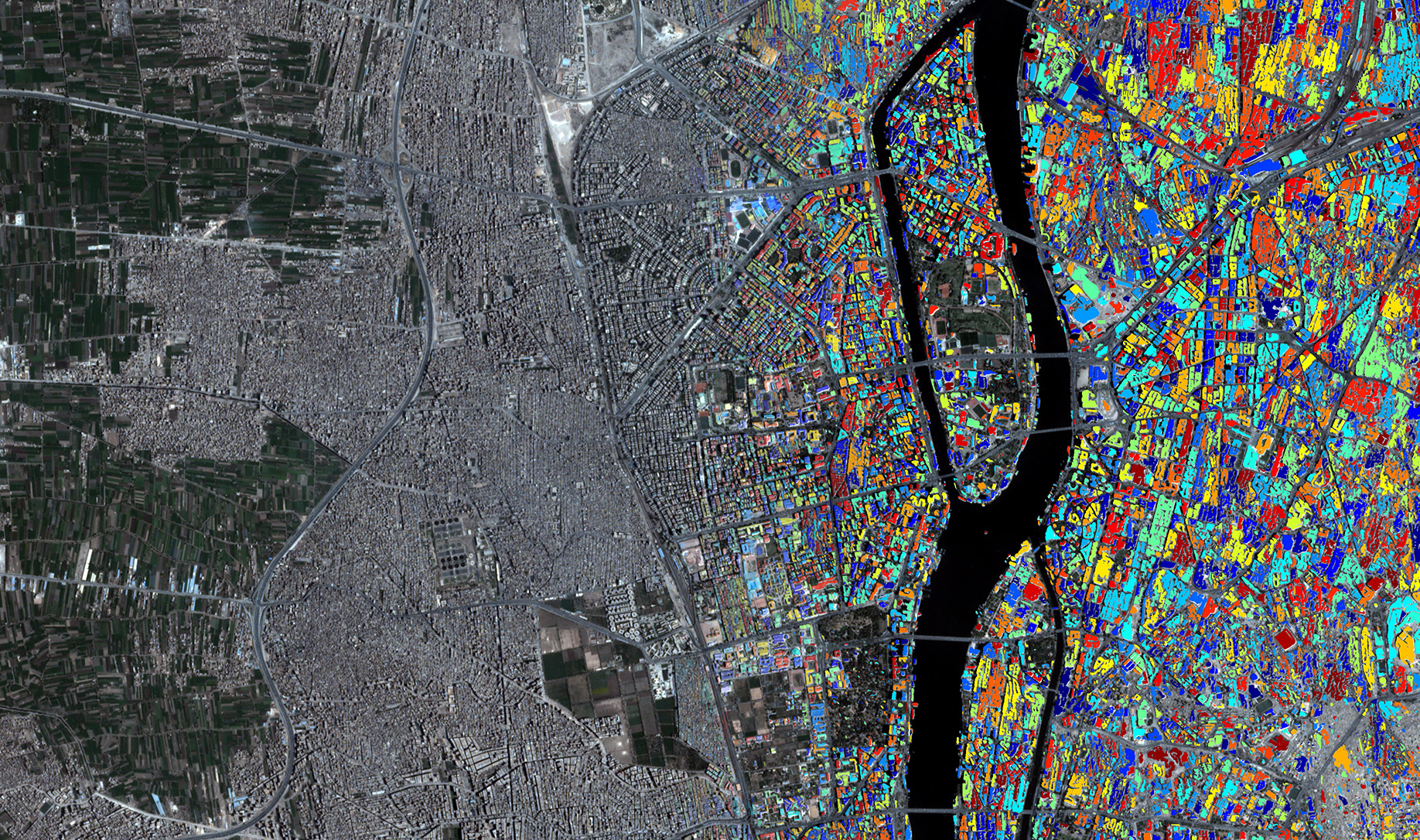
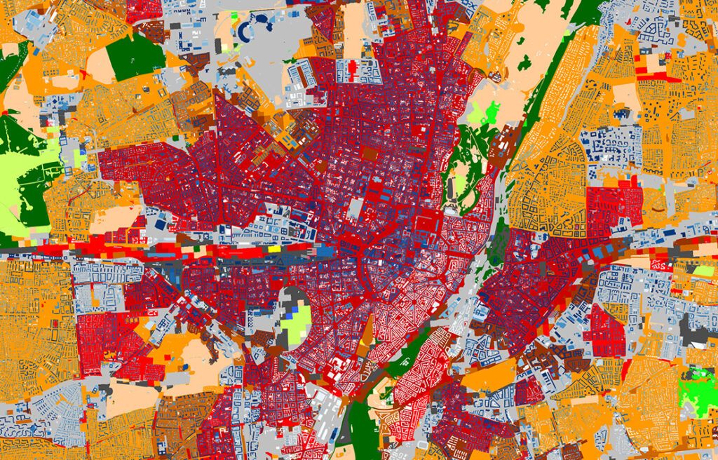
Geometry Meets Semantics
We combine 3D building height and land use classes derived from Earth observation data. The color on building indicates the building height, the background color shows the so-called Local Climate Zones classification, which describes the morphology of urban structures.
Global Solar Potential on Building Roofs
We combined high resolution global building footprint extracted from over 800,000 Planet Scope images and global solar irradiance map, produced the world-first global rooftop solar potential map. Color indicates the yearly solar potential in the range of 0–10 GWh/year with a spatial resolution of 250 m × 250 m.
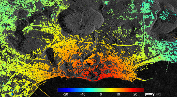
Millimeter-level deformation Monitoring from Space
Our state-of-the-art multi-baseline synthetic aperture radar interferometry processor allows millimeter-level deformation monitoring of large areas from space. Our deep learning-based tomographic algorithm also provides precise and computationally efficient 3D plus deformation monitoring in dense urban areas, saving 100 times processing cost than traditional algorithms.